This website uses cookies so that we can provide you with the best user experience possible. Cookie information is stored in your browser and performs functions such as recognising you when you return to our website and helping our team to understand which sections of the website you find most interesting and useful.
Efficiently survey and track your construction work progress
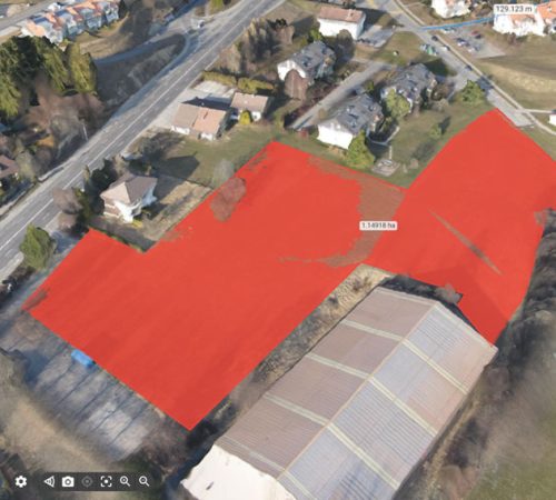
Use ground and aerial imagery to map, measure, analyze and report the progress on your project easily. Scan the terrain before construction and use perfectly accurate 3D terrain surfaces in the design.
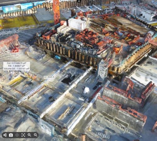
Reduce cost and time of earthworks using drone surveying
We are performing fast surveys and at a fraction of the cost, while capturing millions of detailed points for:
- Topographic survey
- Visual records of excavation
- Stockpile measurement
- Cut and fill calculation
- Accurate haul cost estimate
- Civil engineering work
Accelerate the construction project planning and design
Simplify pre-construction site planning and scheduling with 3D models from drone images.
Support the design process and help engineering teams build the project virtually first and save time in the project completion.
Better track and manage the construction progress
Get regular aerial visual updates of the as-built situation in 2D and 3D to compare site against the as-design.
Visualize, measure, track onsite changes and export data acquired at all stages of a project for more efficient project execution.
Identify errors early, keep control on schedule and prevent costly rework.
Transform construction project management using drone data
Improve collaboration and facilitate communication among teams with shared access to high-quality and measurable aerial updates of the site on a collaborative cloud platform.
Use and share the data to verify work, manage operational or scheduling conflicts, and fully document the project in 2D and 3D.
Unlock as-built data for 4D BIM
Export and integrate generated 3D point clouds within 3D design and 4D scheduling software.
Enable streamlined BIM workflows to better manage schedule, cost, changes and potential clash detection.
Unlock as-built data for 4D BIM
Export and integrate generated 3D point clouds within 3D design and 4D scheduling software.
Enable streamlined BIM workflows to better manage schedule, cost, changes and potential clash detection.
Facilitate infrastructure inspection
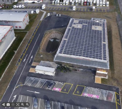
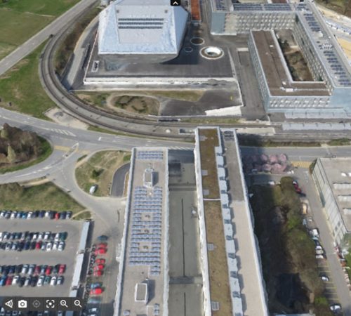
Change the game for inspections with drone mapping. UAVs can make building and infrastructure inspection quicker, safer and more efficient.
Get highly-detailed 3D data for work estimations, infrastructure performance, building maintenance, or construction project tracking.
An example of a 3D drone scan
Scanning results in a large number of precisely defined spatial points that make up the so-called
“point cloud”.
WHY DO CLIENTS CHOOSE US?
Expertise
By creating 3D visualizations, we have built a respectable team of experts whose experience and knowledge provide our clients with the highest level of service.
Quick and easy
We respect your time and do not bother you with additional questions and information Just send us the details of your project and tell us what you want. That’s it. Fewer words, more results.
Flexibility
Based on your project, we will suggest the best way to achieve the ideal result. Just provide us with all the necessary details about the project.
Transparency
Our pricing policy is completely clear: you can choose from several options. You will receive your first estimate shortly after the inquiry is sent.
Contact Us
Do you have a project that you would like to talk about? Wondering which 3D visualization will work best for you? Do you have a question for us about how we work? Leave us a message here – and we will contact you!


